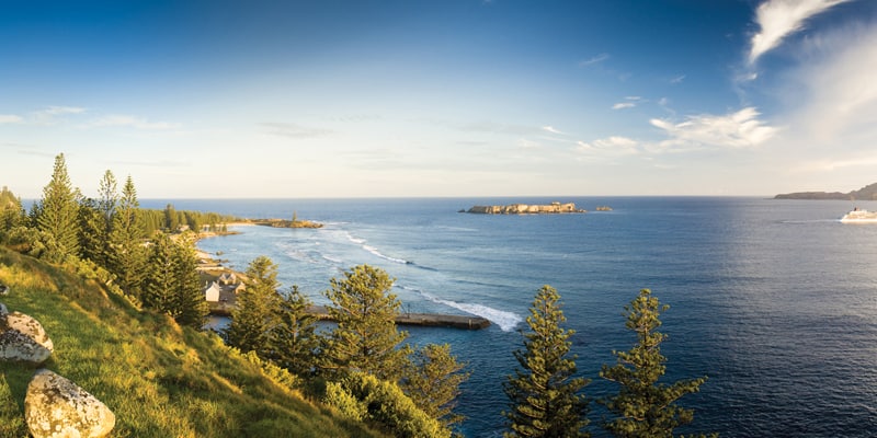
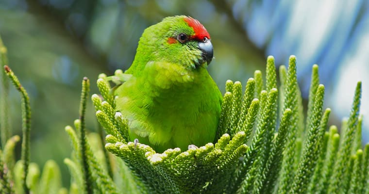
There are 180 native plant species, of which about 25 per cent are endemic, and a further 370 naturalised species on the Norfolk Island Group.
However, prior to 2020, there was no comprehensive, island-wide description or map of the native plant communities present. The Norfolk Island Vegetation Mapping Project commenced in 2018 and sought to produce island-wide vegetation maps of Norfolk Island: one showing current native plant communities and another showing the native plant communities predicted to have been present in 1750.
The maps and associated information in this report, The Native Plant Communities of Norfolk Island, provide an improved technical framework for describing the island’s native vegetation that can help prioritise areas for restoration and help Norfolk Island landholders obtain funding to restore their land. It can also assist in defining areas that are better suited to other land uses such as grazing, agriculture and development.
- Download the full report: The Native Plant Communities of Norfolk Island.
- A series of fact sheets have also been produced as part of this work.
As well as being of scientific and general interest, the map of the predicted 1750 vegetation helps land holders determine what the original vegetation was like at a particular location and thus serves as a guide for restoration and other land uses.
This is important for the conservation of Norfolk Island’s many unique and threatened species, including 46 plants listed under the Environment Protection and Biodiversity Conservation Act 1999 (EPBC Act). The mapping project is also an important contribution to the implementation of the Norfolk Island Environment Strategy 2018-2023 and Norfolk Island Regional Council Pest Management Plan 2020-2025.
The plant community maps are also available on the Norfolk Island Regional Council website.


